
Skip to content
Bispace Technologies

La Paz, Bolivia · Projects in Bolivia and Mexico

Geospatial technology and artificial intelligence for better decisions

A Bolivian company that builds and operates its own platforms for government, agro-exporters and businesses, on a complete in-house GIS stack.

Infrastructure figures

5,300+
geospatial layers in our catalog for Bolivia
38
institutions that source the data
343
municipalities of Bolivia (2024 Census) linked by INE code
10+
platforms in production on our own infrastructure

Our own infrastructure

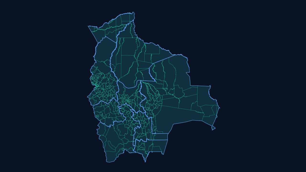
Bolivia in data, live

This map is not an image: it is made of vector tiles served right now from our own server, on top of our own geospatial database. The same infrastructure powers our platforms.

Zoom in and explore the territory: the map is interactive.

Loading map…

For everyone

Find your municipality

Real data for every municipality in Bolivia, with its official source.

See all municipalities

Our platforms

Software that runs today for government, agriculture and business

bipulso360.bispace.tech
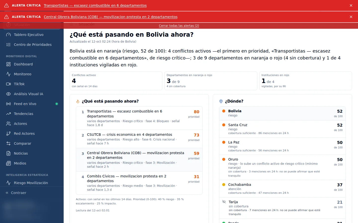
Screen of BiPulso360, one of our platforms in operation

01For ministries and public institutions

BiPulso360

Social media and public opinion monitoring powered by artificial intelligence. It shows what is being said about your institution and helps you anticipate crisis situations.

  • Narratives and trending topics
  • Reputational crisis alerts
  • Institutional pressure and reputation of public officials
Request a demo
bicatastro.bispace.tech
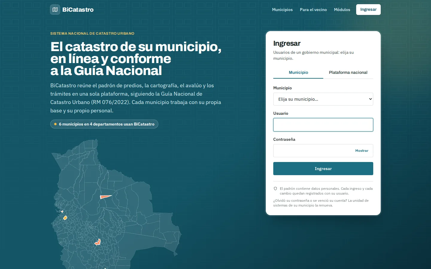
Screen of BiCatastro, one of our platforms in operation

02For municipal governments

BiCatastro

Multi-municipality cadastre platform, ready to be deployed in any municipality.

  • Parcel mapping, property register and valuation
  • Public display and citizen claims
  • Public lookup by municipality
Request a demo
Meridian · Territorial Analysis Engine
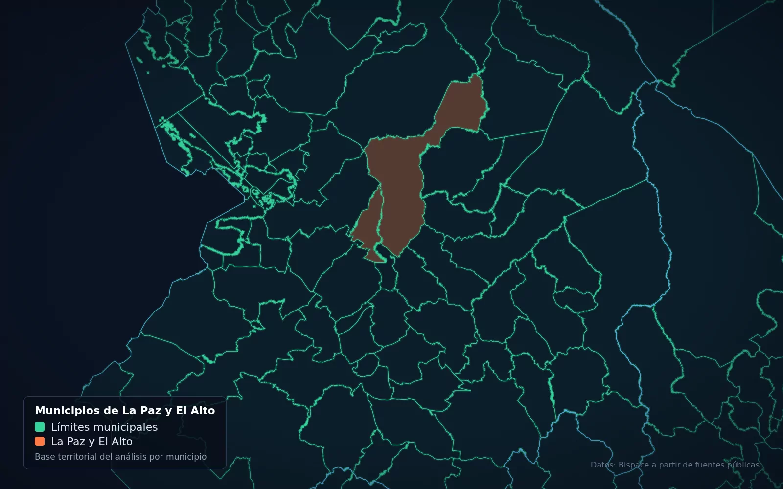
Map of Meridian with real layers from our database

03For retail, banking, real estate and public planning

Meridian

Territorial Analysis Engine

Territorial intelligence and geomarketing built on our catalog of map layers for Bolivia: it tells you whether a location suits the purpose you have in mind.

  • Site evaluation
  • Territorial profiles by municipality
  • Suitability layers and indicators
Request a demo
visioncrop.bispace.tech
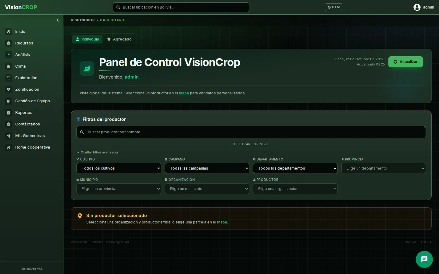
Screen of VisionCrop, one of our platforms in operation

04For farmers, associations and agricultural municipalities

VisionCrop

Satellite crop monitoring to track crop health plot by plot.

  • NDVI and crop health from Sentinel-2
  • Weather and alerts by plot
  • Mobile field app
Request a demo
cafetrace.bispace.tech
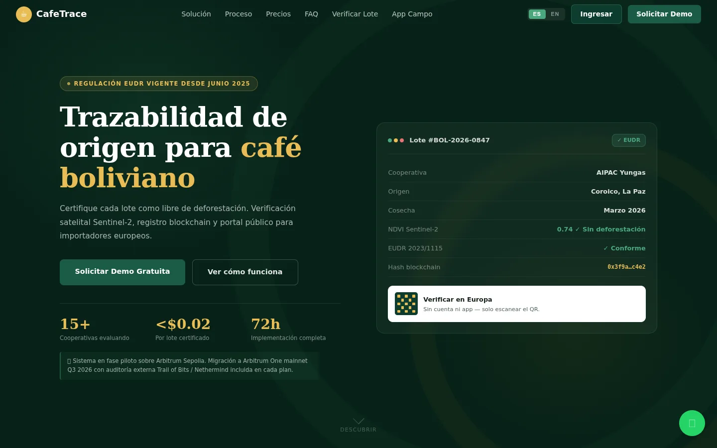
Screen of CafeTrace, one of our platforms in operation

05For coffee exporters and cooperatives

CafeTrace

Coffee traceability from plot to export, with geospatial evidence of deforestation-free sourcing for the European EUDR regulation.

  • Plot-to-export traceability
  • EUDR geospatial evidence
  • Field app
Request a demo
bialert.bispace.tech
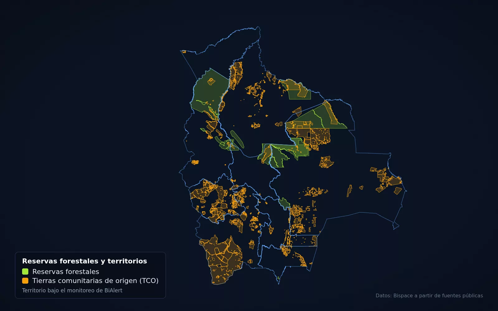
Map of BiAlert with real layers from our database

06For municipalities, state governments and protected areas

BiAlert

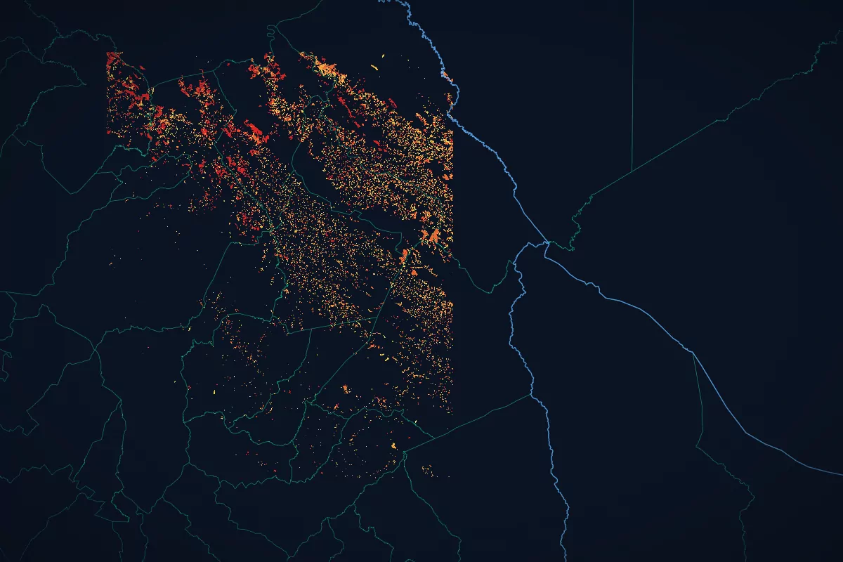
Early wildfire alerts based on satellite heat detections from NASA FIRMS.

  • NASA FIRMS satellite heat detections
  • Alerts by municipality
  • Protected area monitoring
Request a demo

And more platforms

  • CONTROL360

    In production

    For political organizations and election observers

    Election control: real-time capture and consolidation of tally sheets and votes.

    Request a demo →
  • Electrends

    Beta

    For analysts and political parties

    Electoral analytics and trends to help read election processes.

    Request a demo →
  • Convocatorias BO

    Beta

    For consultants and companies that contract with the State

    Monitor of public calls and tenders on SICOES, the Bolivian public procurement system.

    Request a demo →
  • BiBot

    Beta

    For businesses that serve customers over WhatsApp

    WhatsApp assistant powered by artificial intelligence for customer service.

    Request a demo →
View all 10 platforms

From territorial data to public decisions.

Cadastre, risk, agriculture and public opinion on a single geospatial base.

Work we have delivered

Real systems from our track record, up and running.

See our full track record

Why Bispace

We are the only Bolivian company with a complete in-house GIS stack.

Our own geospatial database

PostGIS managed by us, with all 343 municipalities of Bolivia from the 2024 Census linked by INE code.

Our own vector tile server

The maps in our platforms are served from our own infrastructure, with no reliance on third parties.

Catalog of layers for Bolivia

More than 5,300 layers from 38 institutions, cataloged and ready to query.

Our own infrastructure

More than 10 platforms in production that we build and operate ourselves.

International presence

Based in La Paz, with projects in Bolivia and Mexico

We build and operate our platforms in Bolivia, and we have developed geospatial solutions for a client in Mexico.

Looping video: Real flight over Bolivia’s territorial layers

Bolivia

Headquarters in La Paz. This is where we build and operate our own platforms, on our own infrastructure.

Real flight over Bolivia’s territorial layers

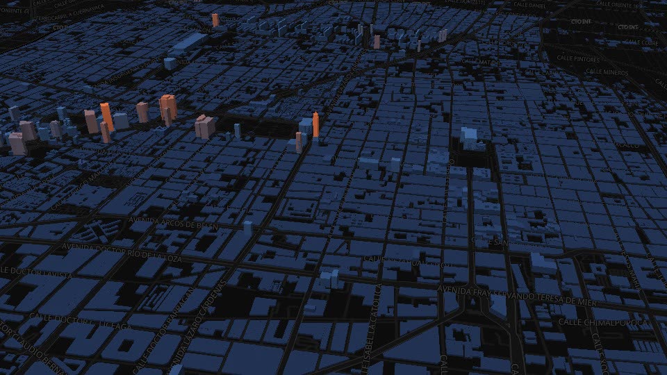
Looping video: Aerial flight over Mexico City · © OpenStreetMap contributors · OpenFreeMap

Mexico

For AFIN, Asesores en Finanzas S.C. (Mexico City), we developed the property value portal and the platform for statistical comparisons of Mexico’s real estate and census data.

Aerial flight over Mexico City · © OpenStreetMap contributors · OpenFreeMap

See the project in our track record

They have trusted us

  • Practical Action
  • Suyana, agricultural insurance
  • Plurinational Authority of Mother Earth (APMT)
  • General Directorate of Forest Management and Development
  • AFIN
  • DataEarth
  • Quime
  • Celocreto
  • Estereocarto
  • Reget

Let’s talk about what you need

Tell us which institution or company you represent and we will show you the right platform.