bicatastro.bispace.tech
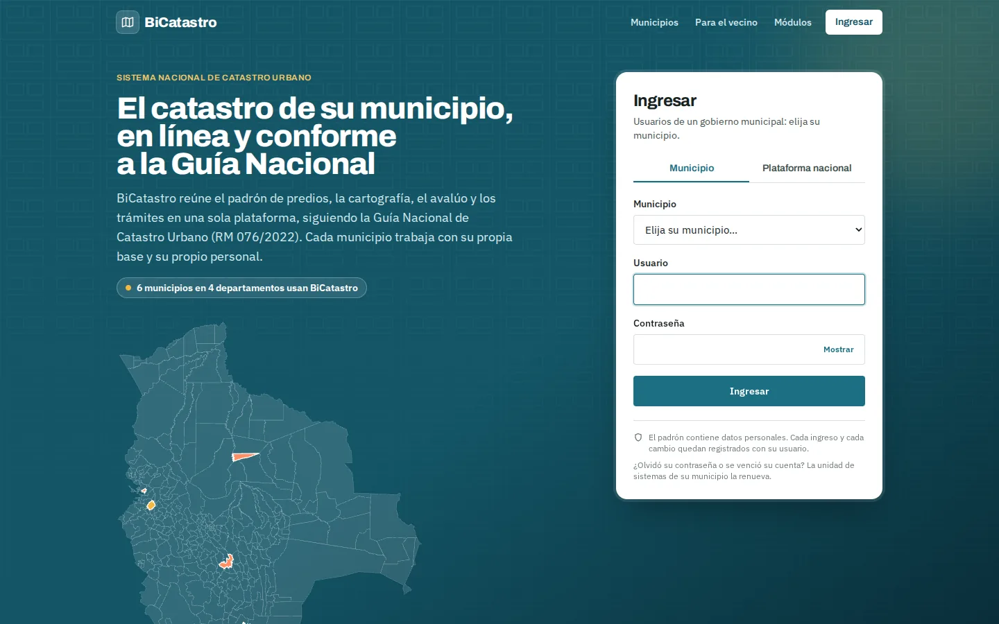
BiCatastro
For municipal governments
Multi-municipality cadastre platform, ready to be deployed in any municipality.
For public institutions
Our own platforms for municipalities, state governments and ministries: know the territory, anticipate risks and listen to citizens.
Unregistered properties, outdated registers and claims that cannot be settled without a reliable map. You need parcel mapping, property register and valuation in a single system.
What is said about your institution on social media changes within hours. You need to see the narratives and get alerts before the issue escalates.
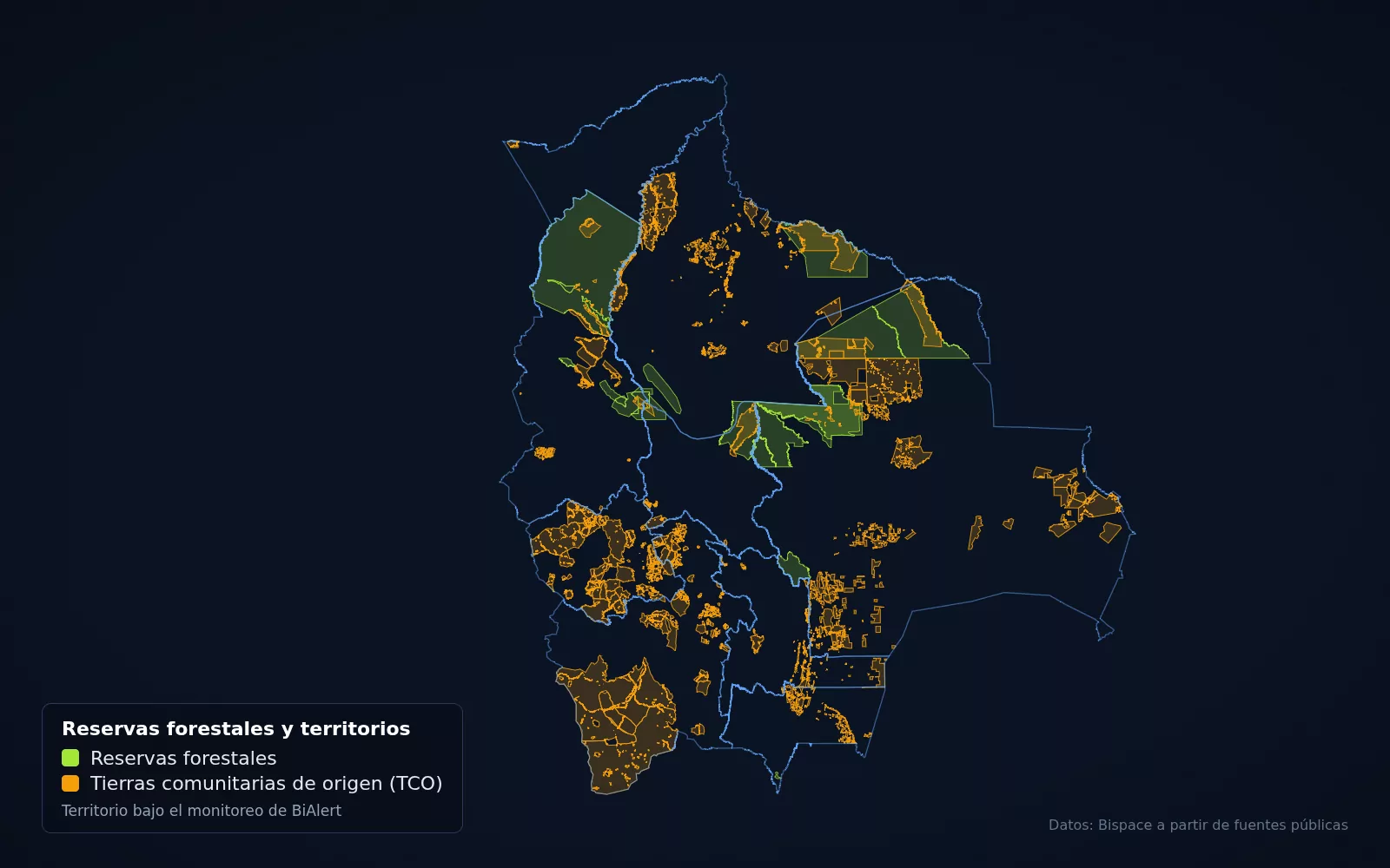
Heat detections are captured by satellite, but they arrive scattered. You need alerts by municipality and monitoring of protected areas.
Territorial development plans are drawn up with scattered information. You need layers, indicators and municipal profiles on a single base.
For municipal governments
Multi-municipality cadastre platform, ready to be deployed in any municipality.
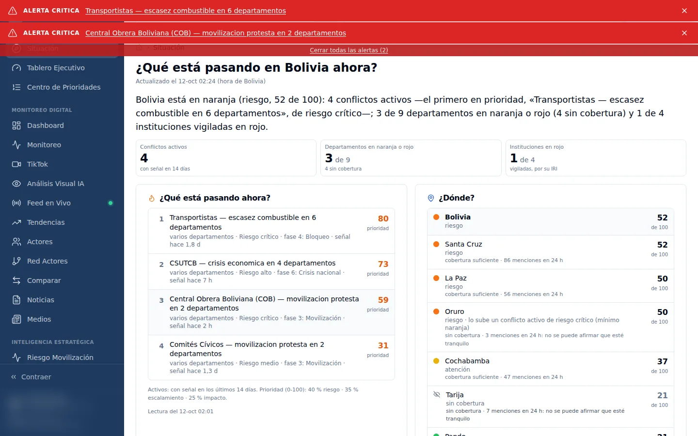
For ministries and public institutions
Social media and public opinion monitoring powered by artificial intelligence. It shows what is being said about your institution and helps you anticipate crisis situations.
For municipalities, state governments and protected areas
Early wildfire alerts based on satellite heat detections from NASA FIRMS.
For retail, banking, real estate and public planning
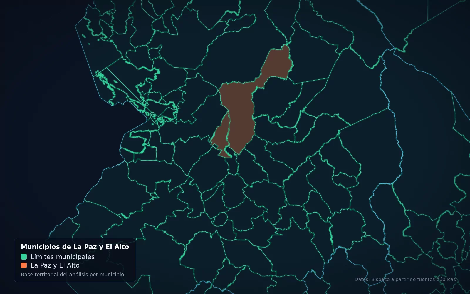
Territorial intelligence and geomarketing built on our catalog of map layers for Bolivia: it tells you whether a location suits the purpose you have in mind.
For political organizations and election observers
Election control: real-time capture and consolidation of tally sheets and votes.
In Bolivia we work under the NB-SABS public procurement regulations, with a gradual path and no up-front commitment.
We start with one module or one area so the institution can see the platform with its own data before committing.
Use of the platform, support and updates are contracted per year, without the institution having to run any servers.
We tailor the platform to the institution, load and clean its data, and train its staff.
Platforms that let local governments manage their properties and serve citizens online.
View details →Studies and tools to organize land use on a technical basis: where it is possible to produce, build or conserve.
View details →Satellite imagery turned into alerts and evidence for farmland and territory.
View details →We bring AI to real government and business processes, built on your own data and with control over what it answers.
View details →Scattered information turned into dashboards and indicators so you can decide in time.
View details →Real data for every municipality in Bolivia, with its official source.