
visioncrop.bispace.tech
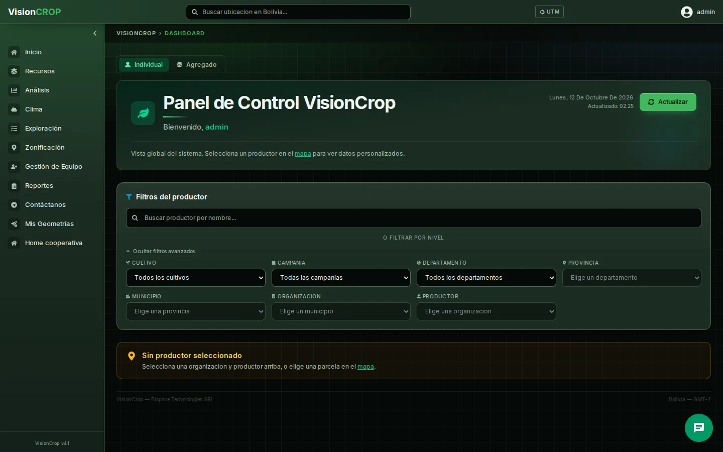
VisionCrop
For farmers, associations and agricultural municipalities
Satellite crop monitoring to track crop health plot by plot.
For farmers and citizens
Satellite and territorial information designed for those who work the land and live in the municipality.
Walking an entire plot takes time. With imagery from the Sentinel-2 satellite you can follow crop health plot by plot, and use weather data and alerts to decide in time.
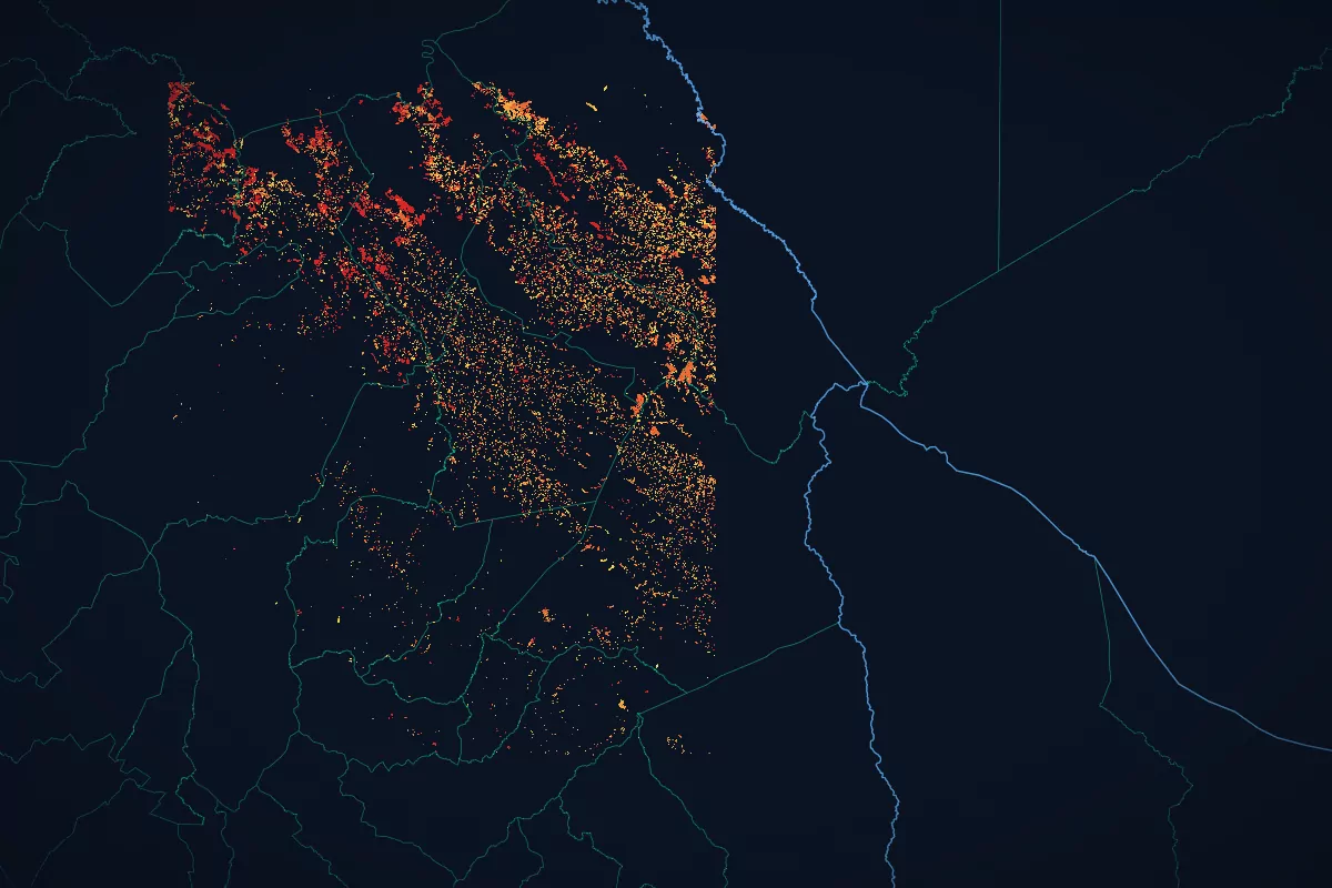
Heat detections are captured from space. Wildfire alerts by municipality help authorities and communities react sooner.
If your municipality uses BiCatastro, you can look up your property data on the citizen portal and file a claim if something is wrong.
Find your municipality and see territorial and 2024 Census data for any municipality in Bolivia.
For farmers, associations and agricultural municipalities
Satellite crop monitoring to track crop health plot by plot.
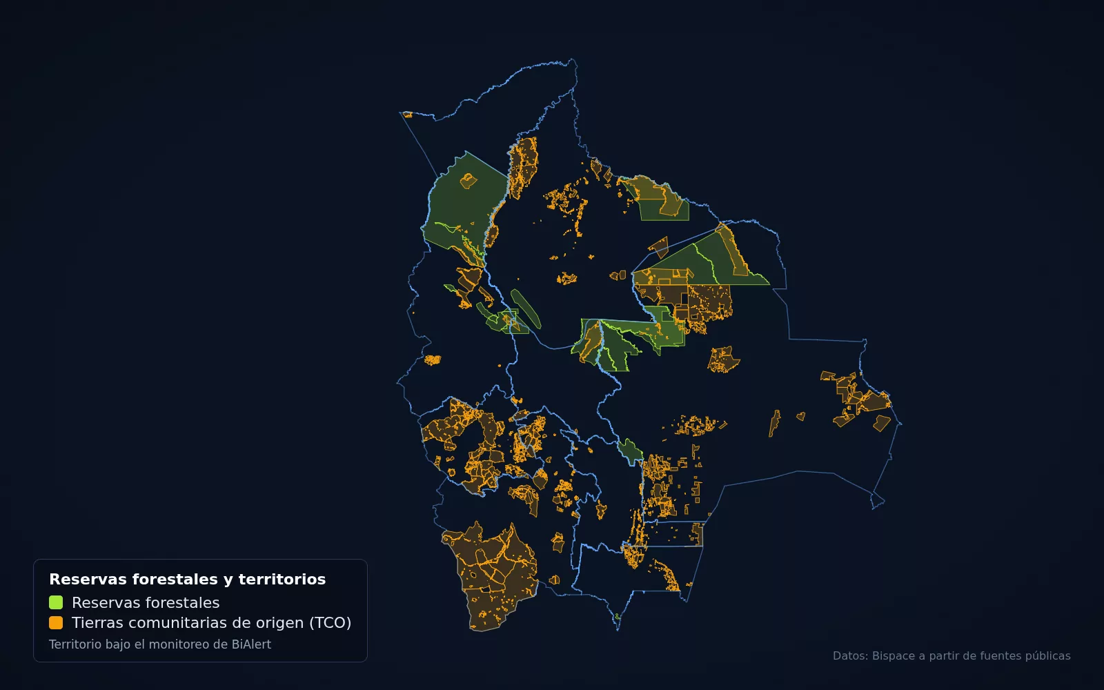
For municipalities, state governments and protected areas
Early wildfire alerts based on satellite heat detections from NASA FIRMS.
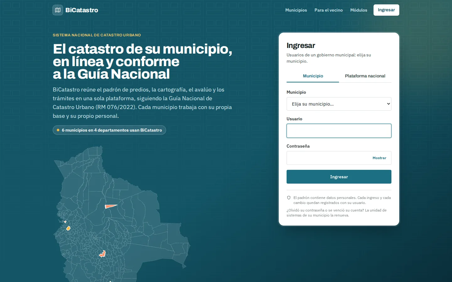
For municipal governments
Multi-municipality cadastre platform, ready to be deployed in any municipality.
Real data for every municipality in Bolivia, with its official source.